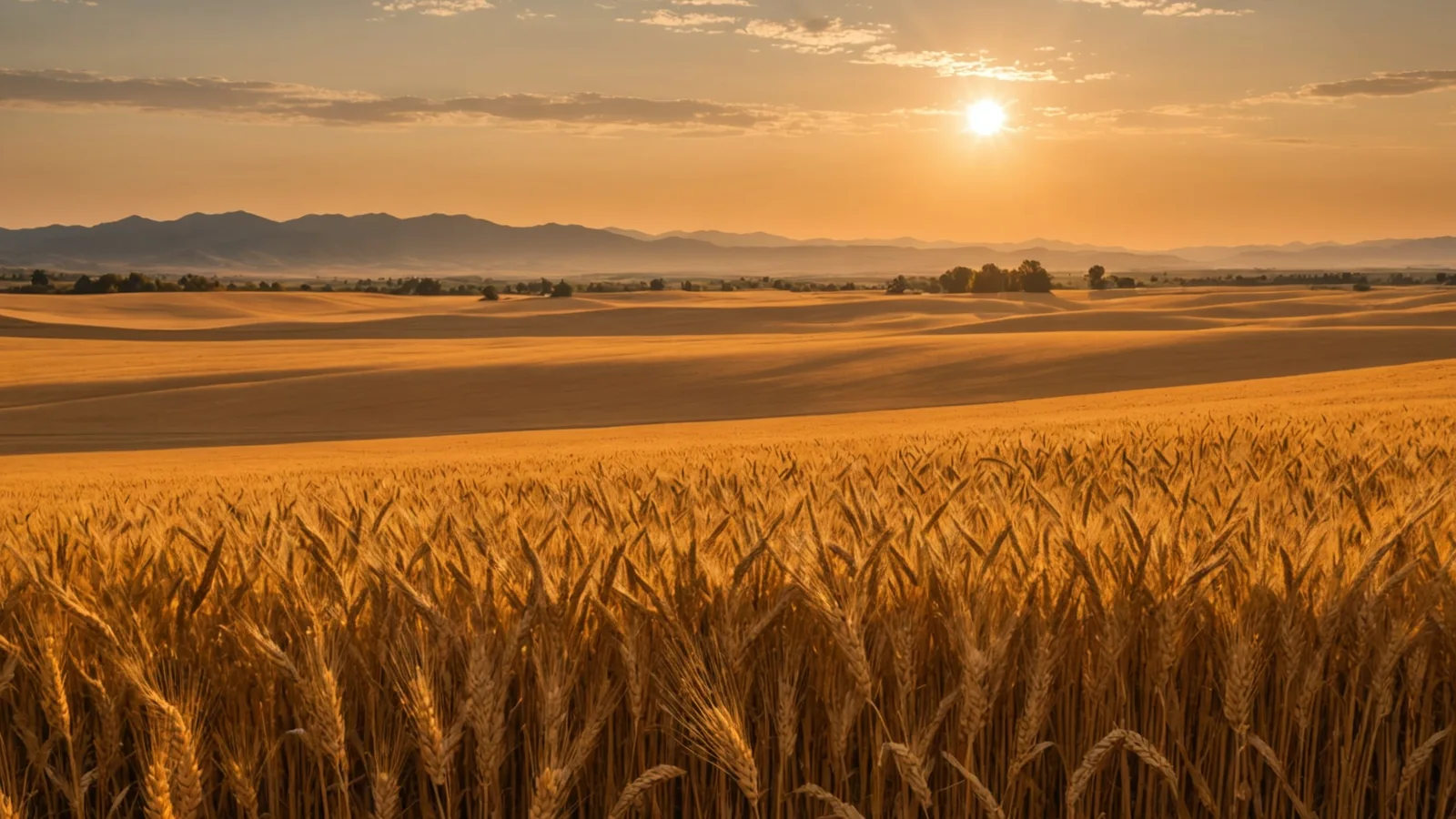
Built around row-crop agriculture
Harva began in Sacramento in 2025 after we saw the price of precision agriculture tools and who they excluded. From day one, our subscription service has aimed to bring satellite-driven prescriptions to working farms without a six-figure hardware investment.
Most farms cannot afford what large operations already have
For years, satellite-driven variable-rate prescriptions required guidance systems, proprietary hardware, and a precision ag consultant on retainer. A 500-acre corn farm could not get the zone-level recommendations available to large growers with dedicated ag tech budgets.
Harva offers that stack as a subscription. We combine the same satellite, soil-sensor, and weather data into a weekly prescription sent by email. No tractor-terminal upgrade or new hardware. Farmer decides; Harva supplies the weekly read.
Field-first design
We test each feature against an agronomic decision facing a grower or advisor. If it does not change field action, we do not build it.
Honest about data limits
Satellite readings have real value, but they are not perfect. We show confidence levels and flag cloud cover or sensor gaps when either affects a reading, rather than conceal uncertainty.
Bootstrapped and focused
No large equipment manufacturer funds Harva. We are motivated only to build a service growers keep paying for because it improves their input decisions.
The people behind Harva
Our small team spans commercial agronomy, satellite remote sensing, and applied data science.

Paola works at the intersection of precision-ag data systems and remote-sensing applications for farm decisions. After working with Central Valley growers, she saw that satellite-driven input prescriptions served large operations, not the 500-to-2,000-acre farms that needed them most.
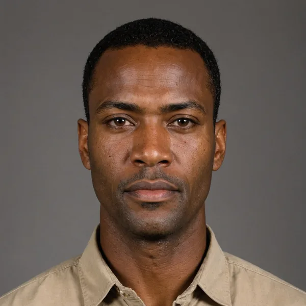
Marcus, a Certified Crop Adviser, works across commercial row-crop agronomy in corn, soybean, and cotton throughout the Midwest and Mid-South. At Harva, he leads crop model development and ties each prescription threshold to the agronomic realities of each growth stage.

Lena works in geospatial machine learning and time-series sensor fusion, focusing on multi-spectral crop stress detection. She designed and built Harva's zone-scoring pipeline, which combines satellite, sensor, and weather inputs for weekly prescriptions, and leads ongoing calibration with design-partner farms.
Contact Harva
Have questions about your fields, the service, or working with us? We read every message.
Ready to see a prescription for your fields?
Begin with a 30-day pilot. Upload field boundaries to receive your first weekly prescription from current satellite data. No credit card required.