See exactly where to water, feed, and spray this week.
Harva reads satellite and sensor data to create field-specific input prescriptions every week. Stop spreading inputs where they are not needed.
Uniform spray wastes inputs. Guesswork costs yield
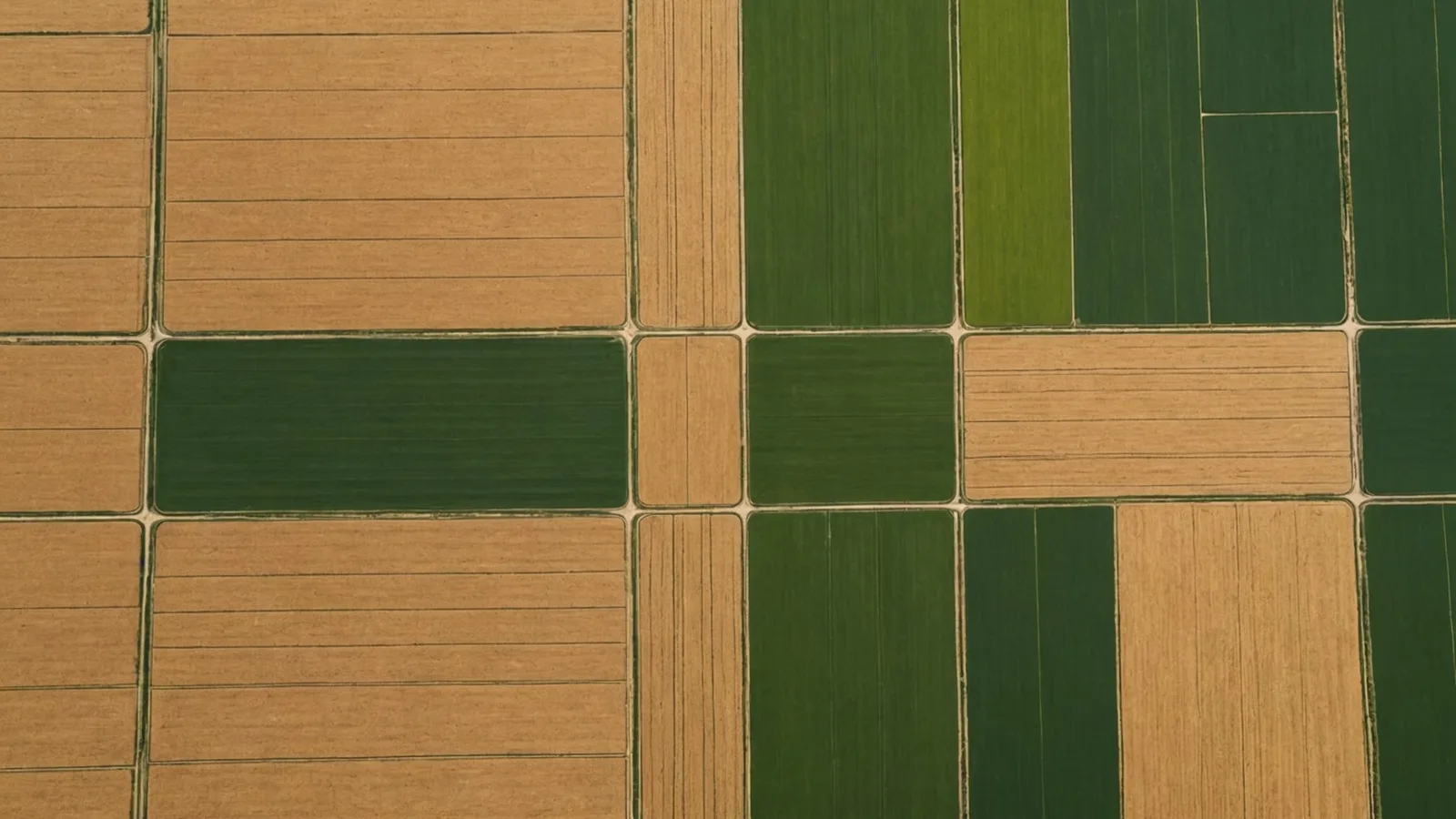
Every field varies
Soil, moisture, and nutrient levels shift across every field. Blanket-rate prescriptions miss those differences.
Input costs keep rising
Fertilizer, water, and chemistry rank among your biggest variable costs. Unneeded applications drain farm money season after season.
Weekly choices need weekly data
Crop stress and soil conditions shift weekly. Annual tests and one-season satellite passes force season-long calls from stale data.
Three sources. One weekly prescription.
Weekly satellite imagery
Multi-spectral passes capture NDVI, canopy temperature, and biomass density in each field zone, refreshed when a satellite pass clears your county.
Continuous soil sensor readings
Moisture probes send continuous readings to the model. If sensors are unavailable, Harva uses calibrated regional soil maps.
Prescription every Monday
Harva combines the three streams into a zone-level prescription by crop stage: where to irrigate, which blocks need a nutrient flag, and where spray is warranted.
Early-access pilot farm results
Pilot figures are internal averages from design-partner farms. Results for individual fields depend on crop type, soil conditions, and seasonal weather. Harva does not guarantee specific yield or input-cost outcomes.
Farmers in our design-partner program
My zone-level water map matched the sandy corners I already knew. I cut my pivot run in those blocks by about a third this summer.
I doubted satellite data could replace a soil walk. Still, nutrient flags matched my pull samples well enough for me to trust them by week three.
A prescription in my inbox Monday morning, before I head to the shop, changed my workflow. I plan the week differently now.
For the crops you grow
Try your first 30 days free
Start without payment. Connect your fields, receive your first prescription, and decide if it fits your operation.